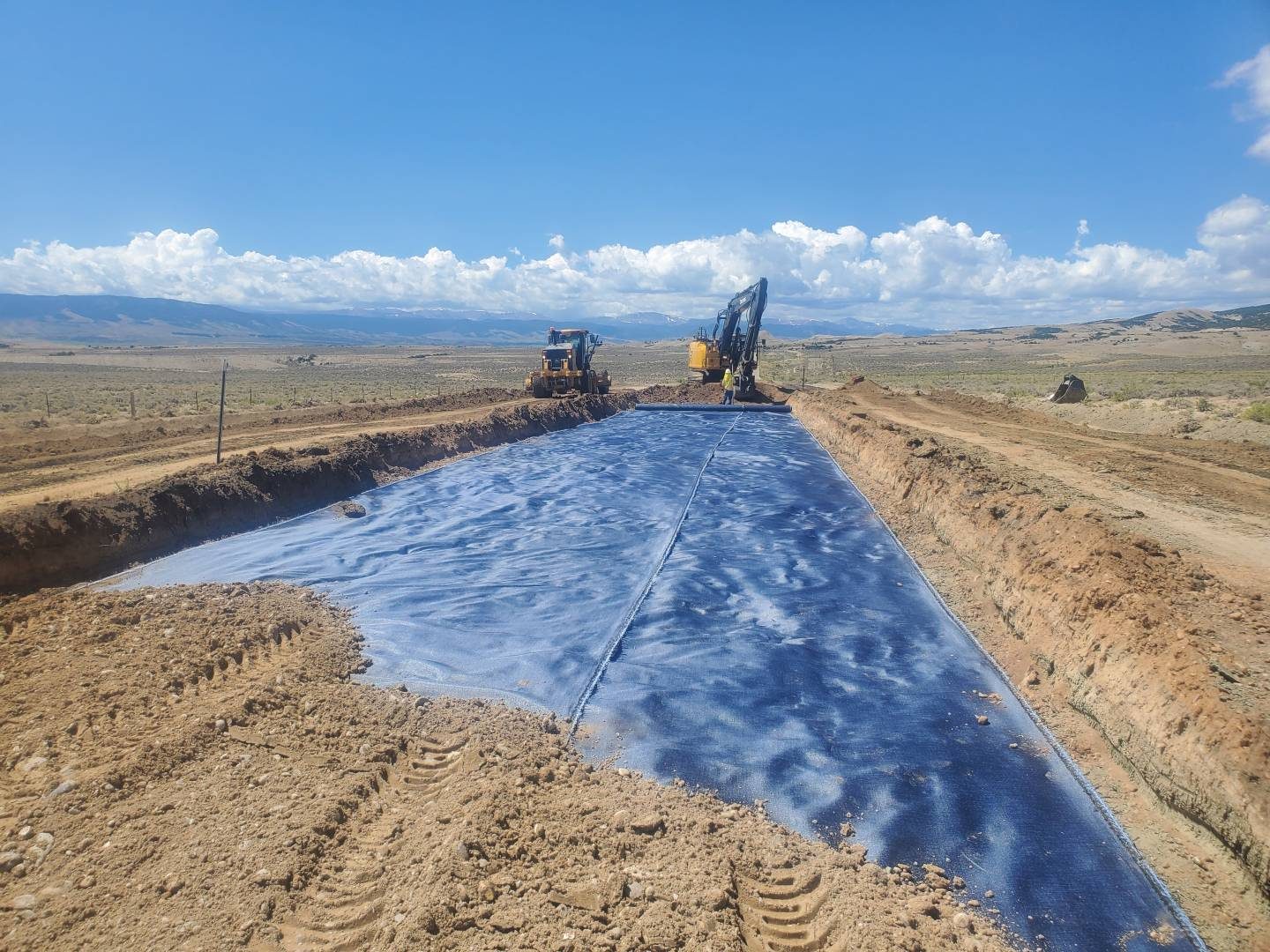
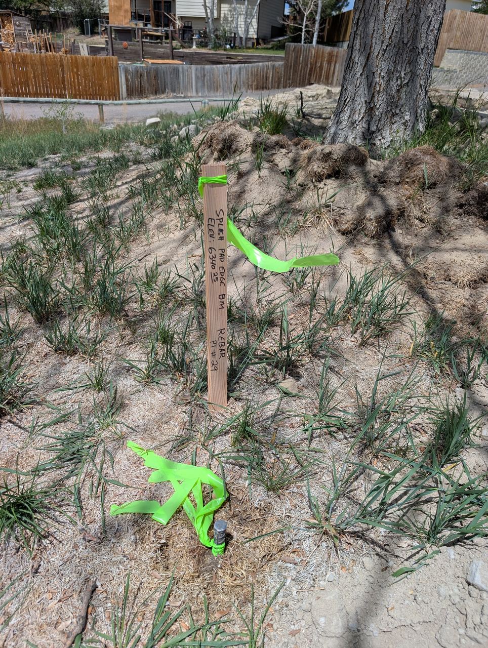
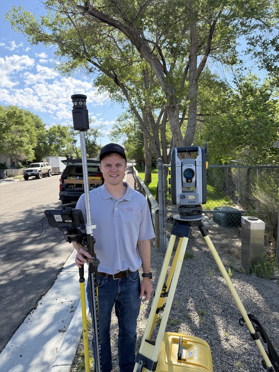
Western-EGI now performs all survey types fully in-house under a licensed Professional Land Surveyor — boundary, ALTA/NSPS, topographic, construction staking, easement, ROW, and plat preparation. One firm. One point of accountability. No hand-offs.
Western-EGI is state-authorized to perform all types of professional land surveying in Wyoming. Our surveying practice is led by Cody Woods, PE, LS — one of a small number of engineers in Wyoming holding both a Professional Engineer license and the PE, LS dual designation. That credential means full legal authority for boundary work, title surveys, easement and ROW surveys, and all other licensed survey types.
When your project requires both engineering and surveying, Western-EGI eliminates the coordination gap that comes from using separate firms. Survey control informs civil design. Design changes are reflected in staking immediately. One team. One schedule. One contract.
Legal boundary determination for property transactions, disputes, and development — performed by a licensed PLS with full legal authority.
The gold standard survey for commercial real estate transactions — performed to ALTA/NSPS Minimum Standard Detail Requirements.
Precise elevation and feature data for engineering design — the foundation of every accurate site and roadway project.
Field staking for grading, utilities, structures, and paving — coordinated directly with the engineering team for fast, accurate control.
Legal survey and documentation for easements, rights-of-way, and access agreements — required for utility corridors, roads, and infrastructure.
Subdivision and lot plats prepared to Wyoming statutory requirements — ready for county review and recording.
Splitting engineering and surveying across two firms creates friction at every hand-off — survey data formatted differently than design expects, staking crews unavailable when grading starts, conflicting records at project closeout. Western-EGI eliminates all of it.
Our civil engineers design from survey data collected by the same team. No format conversion, no interpretation errors, no surprises when the design hits the field. Topographic surveys feed directly into Civil 3D models used for grading, drainage, and pavement design — all reviewed by the same engineer who stamped the plan set.
When Western-EGI designs the project and performs construction staking, the crew staking grade knows exactly what the engineer intended. Ambiguities get resolved with a phone call, not a formal RFI. Changes get incorporated in hours, not days. Owners get a smoother construction process and fewer change orders tied to survey-design miscommunication.
Wyoming's dual PE/PLS designation is held by individuals who hold both a Professional Engineer license and a Professional Land Surveyor license — a credential that represents the full range of technical authority for engineering and survey practice.
Cody Woods, PE, LS leads Western-EGI's survey practice. His dual licensure means Western-EGI can legally perform and stamp boundary surveys, ALTA/NSPS surveys, easement and ROW surveys, and all other licensed survey types in Wyoming — not just topographic or construction surveys available to engineers without a land surveyor license.
For clients, this means you get a single licensed professional accountable for both the engineering design and the legal survey work underlying it.
Stop coordinating between your engineer and your surveyor. Western-EGI provides both — under one contract, with one point of contact, and one team accountable for the outcome.
Western-EGI performed the topographic survey and special inspections for the RSHS track reconstruction. Survey data fed directly into the pavement design, enabling integrated evaluation of existing grade conditions. During demolition, trapped moisture was discovered beneath the field — caused by an impermeable membrane installed without the school's knowledge. Western-EGI's integrated survey-to-geotech workflow identified the problem and allowed a rapid in-field design response that kept the project on schedule. Client: Sweetwater County School District No. 1 (Dan Selleroli).
Topographic survey and full site design for multiple WWCC parking lot improvements. Western-EGI's integrated survey-to-design workflow allowed rapid iteration on grading plans, drainage design, and geosynthetic layouts — all from survey data collected by the same team performing the engineering. When unforeseen water infiltration required a mid-project redesign, survey data was immediately available to support the revised grading solution. Client: WWCC (Chris Dever).
Western-EGI provided comprehensive services for this 40+ lot residential subdivision in Rock Springs — one of the firm's most multidisciplinary engagements. Scope included all surveying (boundary work performed with Cowboy 3D Surveying), infrastructure and drainage design, geotechnical investigation, retaining wall design, house plans, construction staking, special inspections, construction management, and CMT. A single-firm delivery model that kept design, inspection, and testing fully coordinated from plat through final acceptance. Client: Amundsen Construction.
Surveying and geotechnical investigation across seven Wyoming National Guard facilities statewide — the survey data underpinning pavement analysis and rehabilitation recommendations for each site. Western-EGI performed existing condition surveys, provided data for pavement section analysis, and supported design through bid and construction in 2023. Client: Wyoming National Guard / A Pleasant Construction (Jim Jessen).
Whether you have a survey project ready to go or need to talk through scope and approach, Western-EGI is ready to help. Contact us — no obligation.